The exhibit traces - with copious descriptions in English - how Latvia gained its current topographical shape starting from the time when Latvia first appeared in maps up to the time that shaped Latvia's current contour in the map.
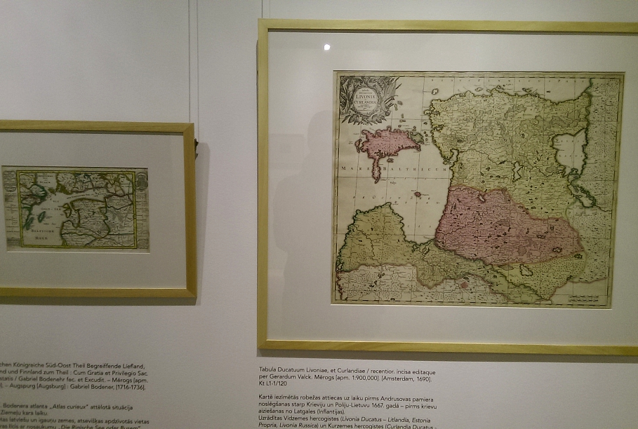
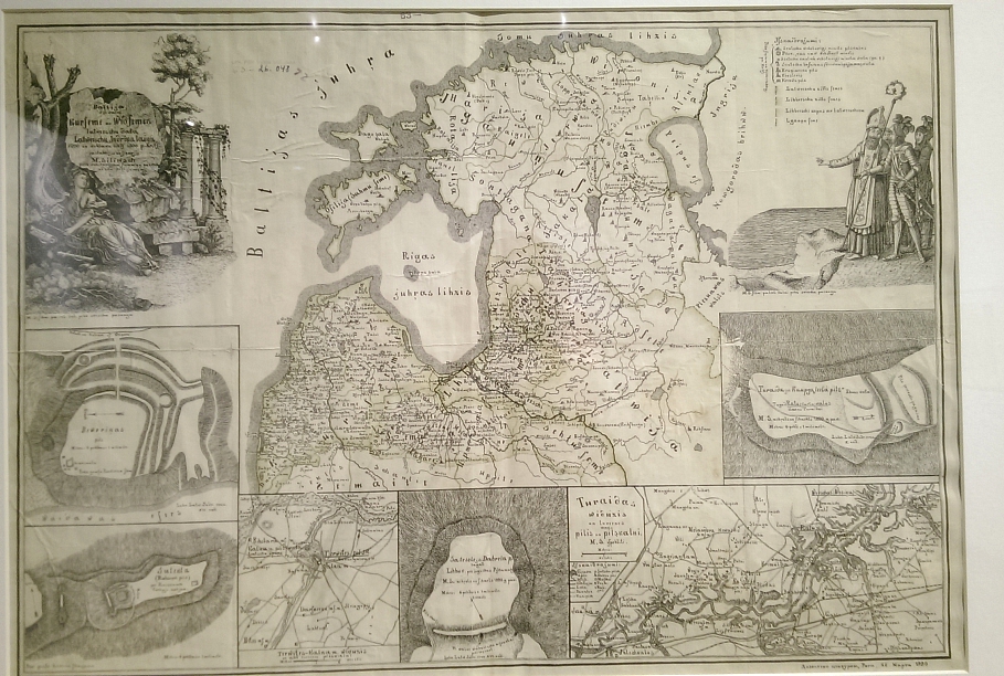
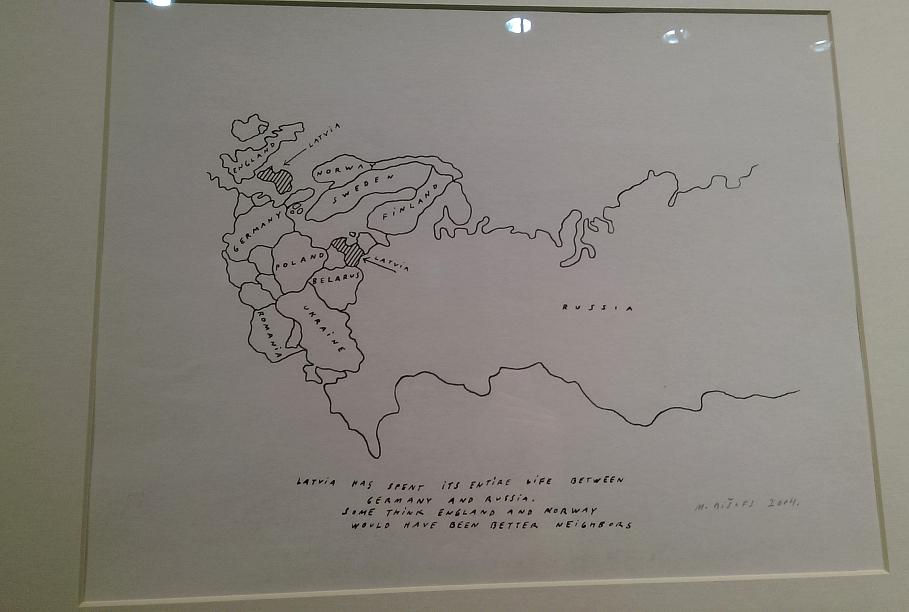
Latvia's maps from the archives of the library are accompanied with drawings of Māris Bišofs and a film by Laila Pakalniņa.
It's open until April 25 on the ground floor of the Latvian National Library, exhibit halls 2 and 3. Entrance is free.