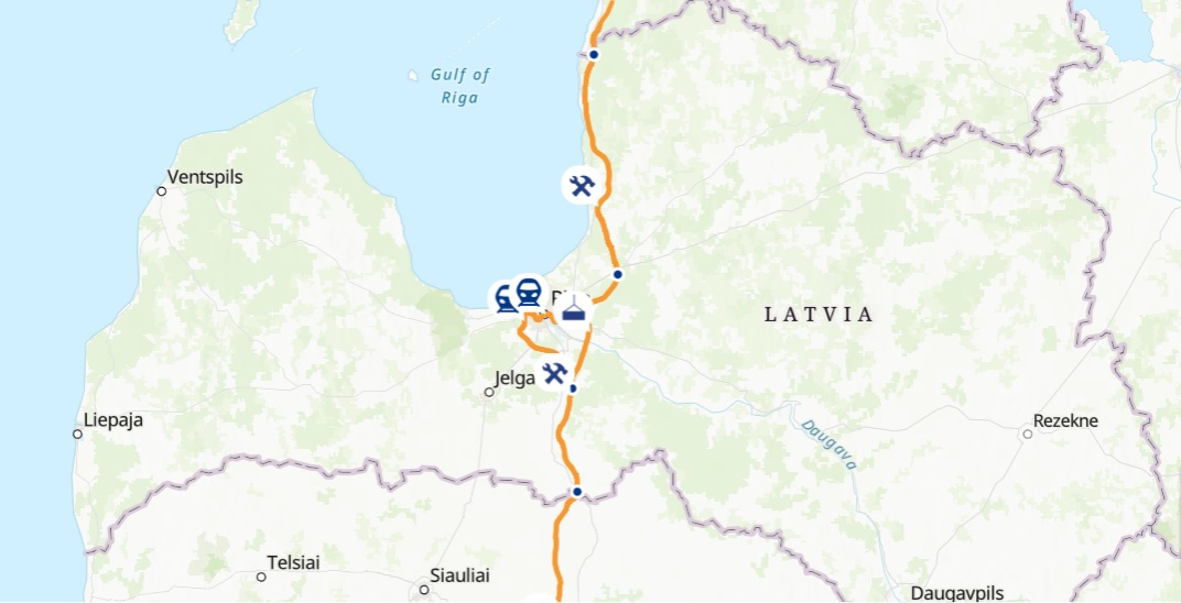
The online map can be viewed here: https://info.railbaltica.org/lv/interaktiva-karte
On the map, which is available in English, Latvian, Estonian and Lithuanian, viewers can see various information including the location of Rail Baltica stations and structures such as bridges and road crossings, where the new 1435 mm gauge railway tracks wll be constructed from scratch and where they will be upgraded from existing 1520 mm wide railway tracks.
Various actions can be performed on the map, such as searching by address or object name, zooming in or out on the sections of the route of interest, as well as changing map layers.
The map has been created for informational purposes to show the progress of the various stages and facilities of the course. As research and design work continues, the information on the map is subject to change, RB Rail promises.
The project was originally slated to cost around 5.8 billion euros, though it looks increasingly likely that amount will be substantially exceeded by the time the first trains are due to start rolling in 2030. Rail Baltica is the largest railway infrastructure project in the history of the Baltic states. It will see the construction of an electrified, European-standard double-track high-speed railway linking Warsaw, Kaunas, Vilnius, Panevėžys, Riga, Pärnu, and Tallinn.