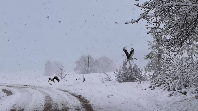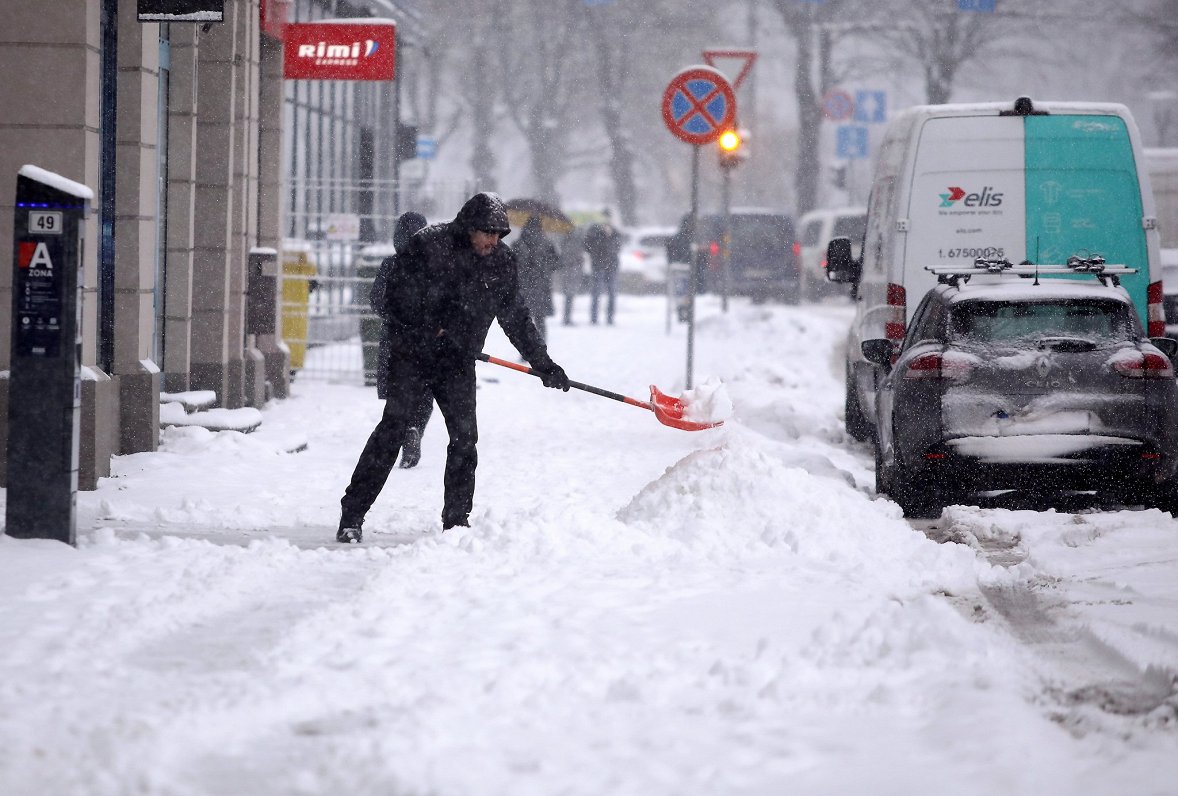
Taking into account the snowfall in Riga, which is stronger than expected, @LVGMC_Meteo has raised the level of warning for the capital to red for the first time in history. The alert will be valid until 20:00 local time when snow is expected to ease off.
Drivers in particular should exercise extreme caution and consider if their journeys are really necessary, though given the fact that it is a Friday afternoon, the evening rush hour will likely prove a very trying experience. Visibility is likely to be limited to a maximum of 500 meters and there is a "very high risk of accidents".
Ņemot vērā, ka rīta stundās Rīgā jau novērota ļoti stipra snigšana un tā ar mainīgu intensitāti turpināsies arī dienas laikā, galvaspilsētai ir spēkā sarkanā līmeņa brīdinājums par snigšanu. Arī citviet Latvijā snieg stipri vai pat ļoti stipri. https://t.co/60DRDlo9za pic.twitter.com/WhIr9ggLeB
— Meteo.lv (@LVGMC_Meteo) December 3, 2021
Much of the rest of the country is still covered by orange and yellow warnings, which you can see on this regularly updated map. Only some southern and western districts escape warnings of one kind or another.
Yellow = potentially dangerous
Orange = dangerous
Red = very dangerous
By Friday morning many places already had 20 to 30 centimeters of snow cover, with plenty more to come.
🌨️Latviju šķērsojot aktīvam ciklonam, naktī valsts lielākajā daļā ilgstoši sniga - vietām sniega sega palielinājās par 6-11 cm. Visdziļākais sniegs šorīt reģistrēts:
— Meteo.lv (@LVGMC_Meteo) December 3, 2021
❄️Rēzeknē - 31 cm;
❄️Siguldā - 30 cm;
❄️Skultē - 29 cm;
❄️Sīļos - 28 cm;
❄️Vičakos - 26 cm. pic.twitter.com/oNDD97nmRV
In case of emergency, call the emergency services on 112.