In the middle of this week, Atlantic cyclones will bring us colder air temperatures, but next weekend will see warmer weather returning.
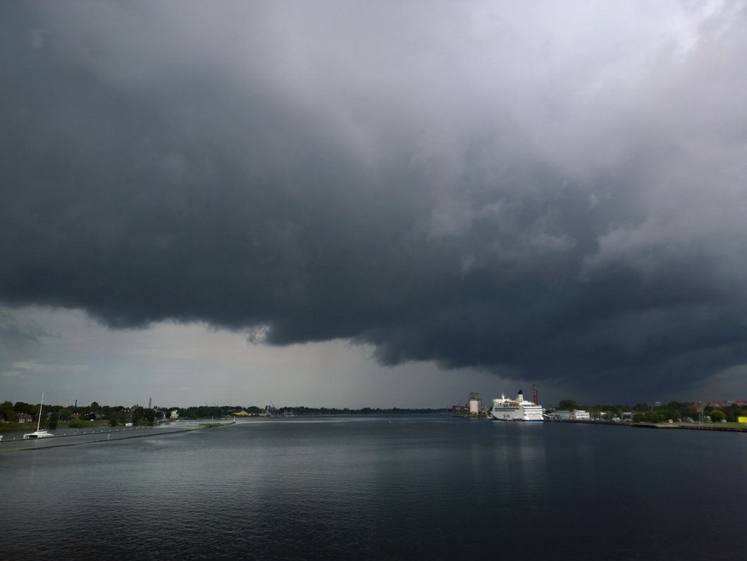
After a Monday with a clear morning and an overcast afternoon, it will become cooler on Tuesday, with temperatures only slightly above +20 Celsius in the afternoon, and Wednesday and Thursday will be the coolest days of the week, with some showers and temperatures struggling to make it above the +20 C mark. Southwesterly and westerly winds will also intensify through these days.
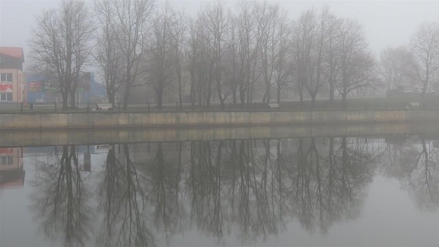
The chill will be particularly noticeable in the mornings when temperatures will be below +10 C, except on the coast where it will be milder and fog may form.
With the arrival of the weekend, the effects of the cyclones will diminish, the wind will turn more from the south and become slower, and warmer air will gradually seep back to the Baltic region. Although some rain is possible, the weekend will be generally sunny and dry with air temperatures of +20 C to + 25 C, slightly cooler along the coast.
Nākamajā nedēļā debesis bieži aizklās mākoņi, daudzviet gaidāms lietus, iespējami arī stipri nokrišņi. Termometra stabiņš vien pirmdien vēl vietām pakāpsies virs +25…+27° atzīmes, bet sākot ar otrdienu kļūs nedaudz vēsāks.
— Meteo.lv (@LVGMC_Meteo) August 11, 2019
Plašāk: https://t.co/aCeQD6TOQu pic.twitter.com/UtgqeFZLfq