Following a warm and sunny weekend, temperatures have dropped Monday morning and gray clouds are a-gathering. The rest of the working week looks like being an even less pleasant affair with a cold spell lasting from Tuesday to Saturday.
You can expect to wake to frost every morning as night-time, air temperatures will drop a few degrees below zero. The coldest mornings will be on Wednesday and Thursday.
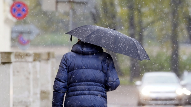
During the day the temperature will mostly reach +7 Celsius to + 12 C degrees, with some sunshine and showers in the form of rain, hail and sleet.
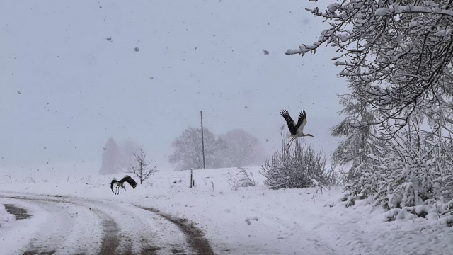
Tuesday could bring genuine snow and there is a chance it will even settle into a layer 6 to 8 cm deep, according to forecasters. Consequently drivers should take care, particularly if they have made the switch to summer tires.
Otrdien nakts otrajā pusē un priekšpusdienā Latvijas austrumu daļā gaidāmi intensīvi nokrišņi, izveidosies 6-8 cm bieza sniega sega. Sniegs var kavēt transporta un gājēju kustību uz ceļiem. Esi uzmanīgs gan ejot, gan braucot ar divriteni vai automašīnu⚠️❄️https://t.co/Q3w3n6cons pic.twitter.com/eQ6aXOsjRL
— Meteo.lv (@LVGMC_Meteo) May 11, 2020
Although some snowfall in May is a fairly common phenomenon, it usually occurs in early May. After May 10, only a few cases have been known in the last century when there was heavy enough snow to form a layer. Before that, high temperature contrasts and heavy rain are also expected on Monday.
According to current forecasts, next weekend will get a little warmer, the sun will shine more often and during the day the air temperature will be in the range of + 9 C to + 15 C, while at night it will be + 1 C to + 7 C and in some places frost will remain on the ground.