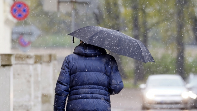
Rapid snow melting will begin this weekend from the west of the country. Overnight to Sunday, the air is expected to warm up to +2 to +7 C. Occasionally, precipitation is expected.
Air temperatures will rise to +4 to +9 C at times next week. Western, southwesterly winds could reach storm strength, precipitation is expected, and rain heavy in places. Snow might not melt only in the highland areas of Vidzeme and Latgale.
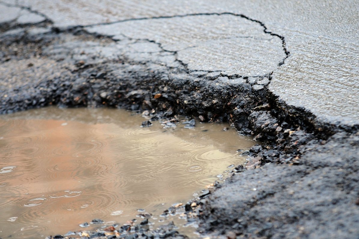
Latvian Environment, Geology and Meteorology Centre said when water levels in rivers rise rapidly, orange and red alert marks may be reached in certain regions, which means flooding of significant areas. Flooding is possible not only near rivers but also in other lower places.
As thaw and rain begin, the weight of snow will increase, so at the end of this week, there is a possibility of trees breaking in the central and eastern parts of the country, where there is currently the most snow.