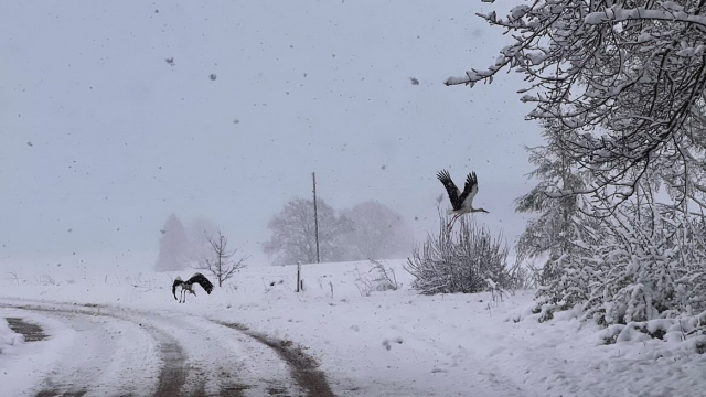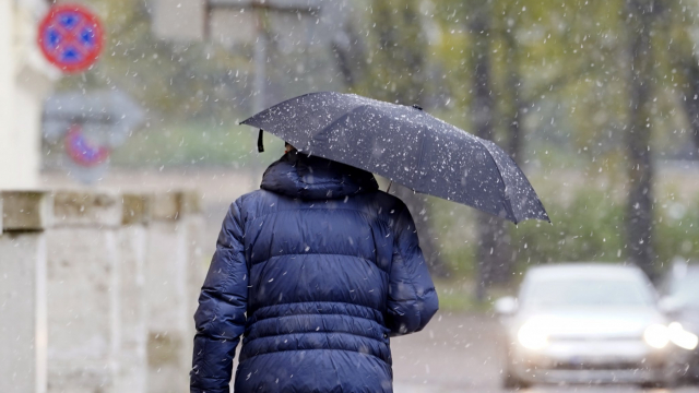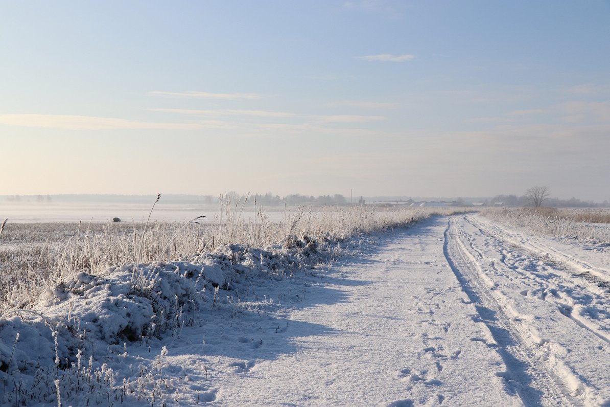
The night of January 21-22 turned out to be the coldest of the winter so far, with temperatures hitting -15 C in Liepāja.
However it is not set to last with the arrival of Atlantic cyclones in the mid-week will prompt much warmer air temperatures bringing rain at the same time.
Nākamās nedēļas vidū kļūs siltāks un iestāsies atkusnis. Vairāk informācijas: https://t.co/SSGmCBMRIk pic.twitter.com/no11PABPEl
— Meteo.lv (@LVGMC_Meteo) January 21, 2018
Sub-zero conditions will remain until Wednesday, with night-time temperatures of -10 C likely in many parts of the country. But then it will become more humid and windy so that in the second half of the week temperatures will stay north of freezing in the range +1 to +6 C.
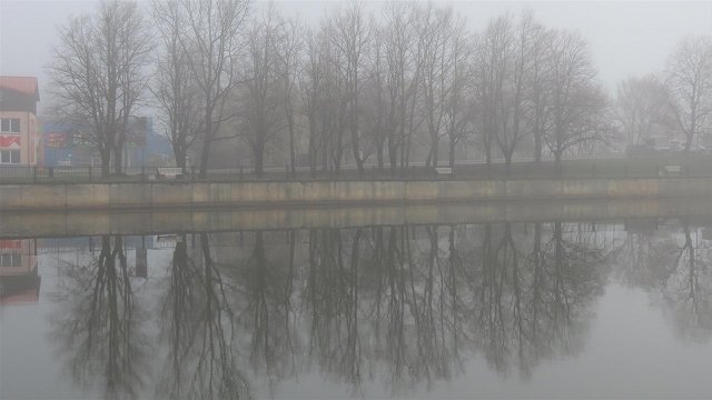
From Wednesday to Sunday rain will feature prominently and it is possible that 15 to 30 millimeters will fall, an amount equivalent to half the monthly norm. That, added to the thaw, will mean water levels in many of Latvia's rivers will remain exceptionally high.
Daugavā pie Jēkabpils par 20 cm pārsniegts palieņu applūšanas līmenis, šodien var pārsniegt arī bīstami augstu ūdens līmeni ⚠️ Pie Zeļķiem joprojām 2 cm virs bīstami augsta līmeņa https://t.co/jGTrwXENCW @ugunsdzeseji @VARAM_Latvija @PlavinuNovads @JekabpilsLV pic.twitter.com/29dC70NKQJ
— Meteo.lv (@LVGMC_Meteo) January 21, 2018
So our advice is simple: if you're planning some skiing or intend to build a snowman, better do it as soon as possible!