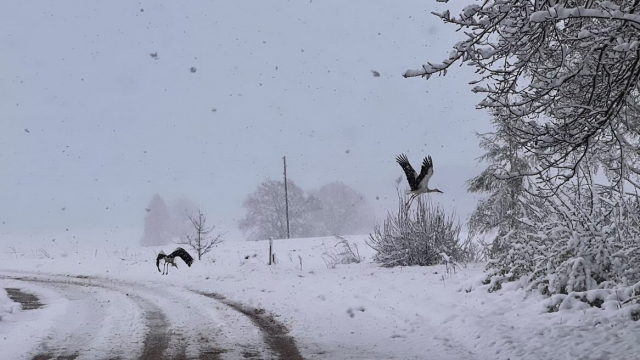
Monday is expected to be cold, with snowfall and sleet in many parts of the country, and particularly strong in the south-east. Morning frosts and daytime temperatures in the range of -3 to +3 Celsius, mean drivers are warned to take care on roads which may be slippery.
But Tuesday will bring the arrival of a warm front. That means plenty of precipitation but also a marked rise in temperatures to +7 to +12 Celsius during the day.
Forecasters are suggesting a maximum of +15 Celsius could even be reached on Wednesday and Thursday with making it a potentially tropical start to November.
However gusty winds of up to 20 meters per second and plenty of rain will prevent people flocking back to the beaches this week to top up their tans from summer. But it does mean more seasonal weather records could be broken - not for the first time this year.