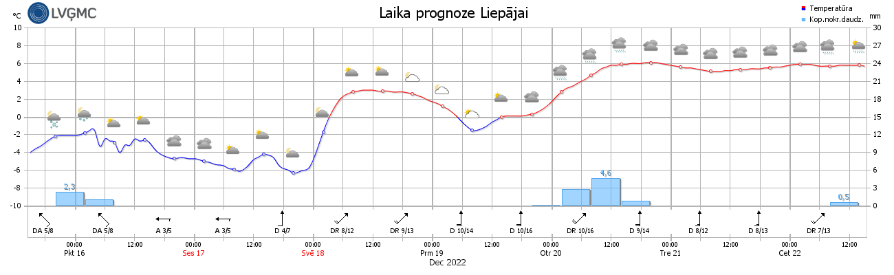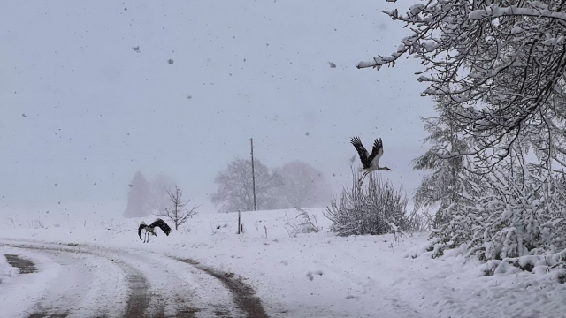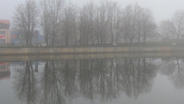
Snow is expected only in south-eastern districts, but patches of fog will develop in some areas.
On Saturday, the air temperature both at night and during the day is expected to be in the range -3 Celsius to -8 C in the west, and -8 C to -13 C in the east. Saturday night into Sunday morning will be particularly cold and could see the thermometer drop as low as -16 C, but during Sunday day the air will gradually start to warm up, remaining below freezing in most places but potentially hitting even +4 C on the sea coast.
17.12.
— Meteo.lv (@LVGMC_Meteo) December 16, 2022
🌙🌤️Naktī debesis brīžiem skaidrosies, dienā mākoņi mīsies ar sauli.
❄️🌫️Teju visā valstī bez būtiskiem nokrišņiem, vietām piekrastē sniegs. Atsevišķos raj. migla, sarma.
🌬️🌡️Vējš būs lēns, g.t.N: -10…-15°, piekrastes raj. -4…-9°, D:-5…-10°, piekrastes raj. līdz -5°. pic.twitter.com/GoKKpFYiih
Cold and mostly dry weather is expected on Monday with a moderate to strong southeast wind blowing in gusts of 15-16 m/s in coastal areas.
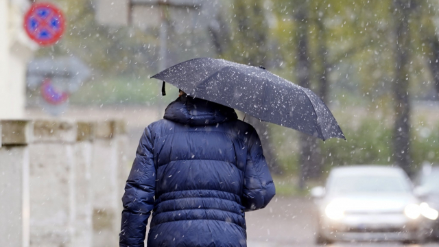
From Tuesday a wide cyclone over the Atlantic Ocean will bring a warmer mass of air to the Baltic region and a widespread thaw will occur with snow replaced by sleet and rain. The air temperature both at night and during the day should be around +2 C to +4 C. According to current forecasts, similar weather conditions will remain until the end of the working week.