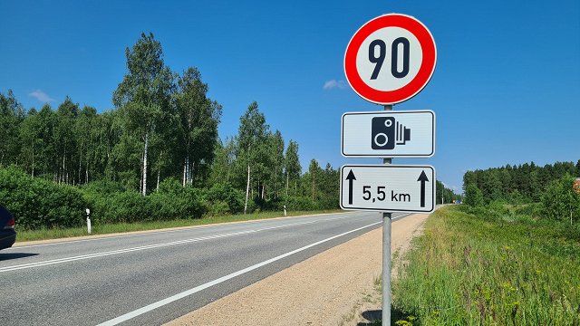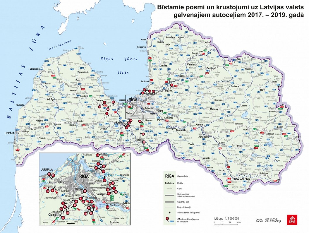
A new map of dangerous sections and intersections or blackspots summarizes data of road traffic accidents for the three-year period from 2017 to 2019 and was released June 11 by Latvijas Valsts Ceļi (Latvian State Roads).
The good news is that compared to previous years, the number of blackspots has halved from 99 in the period 2014-2016 to 48 in the period 2017-2019.
The highest concentration of blackspots is surrounding Rīga, where there is also the highest traffic intensity. The number of deadly intersections at which several people have died has decreased from eight to three.
"The number of dangerous places has dropped dramatically, which is a positive trend. From the point of view of road infrastructure, our task is to do everything we can to ensure that road users can be part of traffic safely and that the number of these black spots continues to fall. This year, thanks to additional funding of 75 million, additional projects to increase traffic safety will be implemented. In total, 8 million euros will be allocated to traffic safety projects both from the annual budget and from additional funds,” said Jānis Lange, chairman of LVC.
Under the methodology, in populated areas, a 300-meter-long road section is considered to be a dangerous road section, where at least ten Road Traffic Accidents or at least three heavy RTAs have occurred during three years. An intersection is considered dangerous if accidents have occurred within a radius of 150 meters on each side.
⚫️⚠️ “Melno punktu” skaits uz valsts galvenajiem autoceļiem, salīdzinot ar 2014.-2016. gada periodu, ir samazinājies uz pusi - no 99 līdz 48. Jaunā “melno punktu” karte ir veidota par 2017.-2019.g periodu. pic.twitter.com/MnEGB4PS0S
— Latvijas Valsts ceļi (@LVceli) June 11, 2020