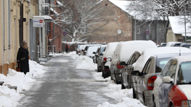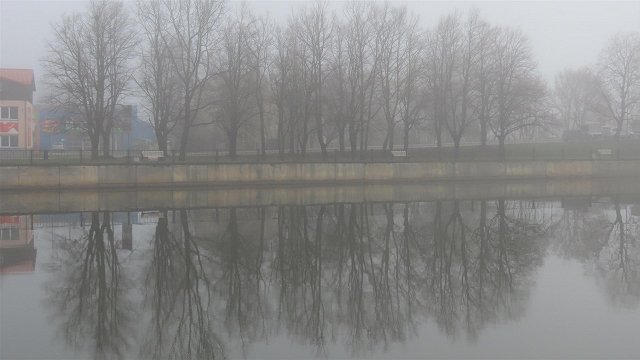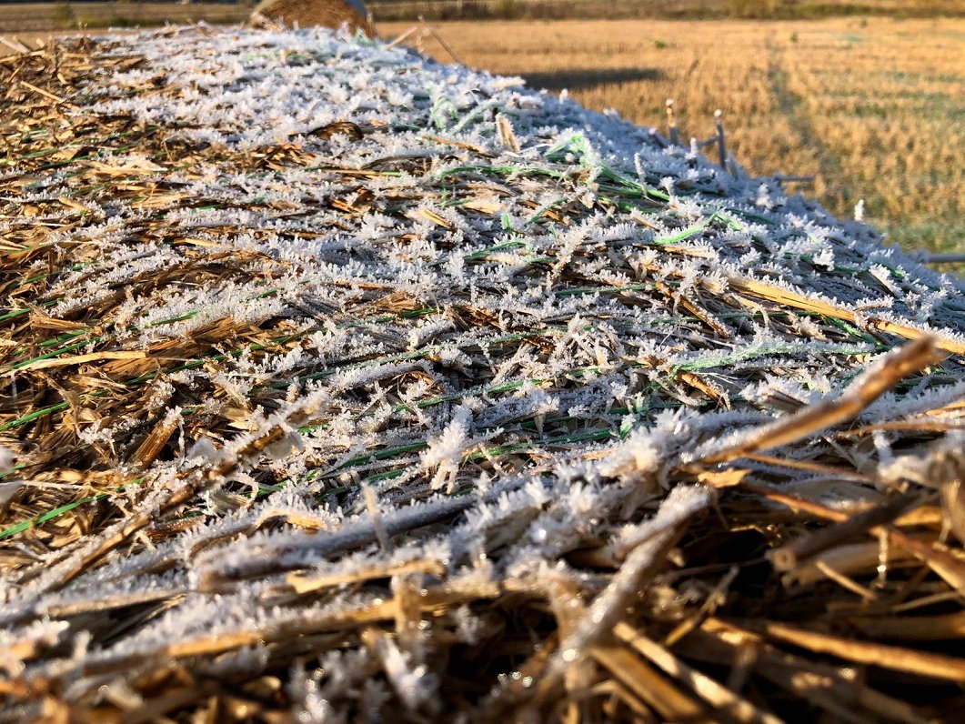
On Monday and Tuesday night the temperature will drop below zero to as low as - 6 degrees Celsius throughout most of the country. Though Rīga will be a few degrees warmer as usual, it will still be sub-zero.
Daytime sunshine will disperse the morning frost during the day, except in parts of eastern Vidzeme and Latgale, which will be notably cold on Tuesday night into Wednesday morning when temperatures could get as low as -10 C . Elsewhere the thermometer will be a few degrees warmer, and Wednesday afternoon is shaping up to be conspicuously sunny.
Nākamajā nedēļā nokrišņu daudzums ievērojami mazināsies un daudzviet gaidāms sals.
— Meteo.lv (@LVGMC_Meteo) February 2, 2020
Plašāk: https://t.co/jhwaGtLre3 pic.twitter.com/sBwYTpLJSn
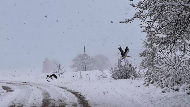
During Wednesday night, the eastern part of the country will be crossed by a broader precipitation zone, with a 2-5 centimeter thick layer of snow expected in Vidzeme and Latgale on Thursday.
On Friday night and Saturday the cold will return, and the thermometer will drop to -5 to - 9 degrees Celsius, but this will be a fleeting reminder of winter as from Saturday warmer weather will return.
However, the fluctuations in temperature could create treacherous conditions on the roads with patches of ice and standing water meaning drivers should take suitable care.
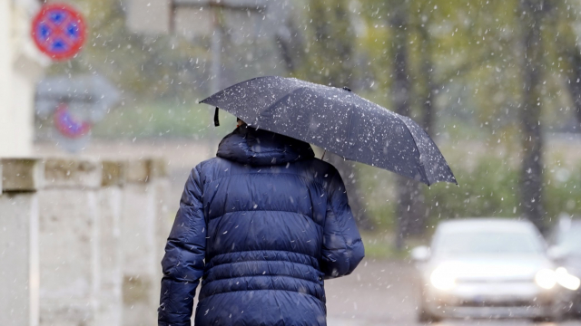
Later in February, Atlantic cyclones will dominate again, resulting in frequently overcast conditions, plenty of preciptiation, mainly in the form of rain and sleet, and southwesterly winds, which will be strong in coastal areas. Temperatures will remain above freezing point fro the most part.
So while this week will be slightly more wintry than recent weeks, a real Baltic winter with snow-laden boughs of pine trees in the forests remains absent without leave, as time starts to run out for ski centers and ice rinks to experience anything like a proper season.
As ever, you can weather-watch live via our collection of Rīga webcams.