I am of course referring to crossing the Latvia-Estonia border. Standing at the famous border crossing point in Valka-Valga with one foot in Latvia and one in Estonia is fun, but hardly original. Probably there are more photographs of people in that particular pose than the combined populations of the two countries. Catching the coach from Rīga to Tallinn, all you have to mark your border transition is the sight of a former checkpoint transformed into a cafe and booze shop for truckers – it's not exactly thrilling.
What is required to put the spice back into crossing the border is something special, something challenging, something that might end in disaster if it goes wrong, but will deliver a lasting memory and a bit of braggadocio if it succeeds. Lord Byron well understood this when he stripped off his breeches and swam the Hellespont (or Dardanelles), the stretch of water that separates Europe and Asia for anyone who is classically minded. He performed this notable feat on May 3, 1810 and immediately wrote a poem about it, setting a useful precedent for any writer with a pressing need to fill a page.
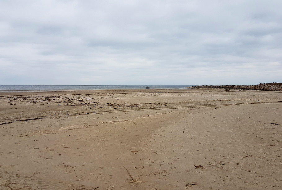
So you might consider swimming between Latvia and Estonia in the Baltic Sea, something fairly easily achieved if you make your way to the pleasant seaside town of Ainaži, get to the imposing stone jetty and head north. But it must be admitted that this is not the best stretch of seaside on the Baltic coast (south of the jetty is nicer, and further north at the unfortunately-named Krapi campsite).
But the sea is not the only stretch of water between Latvia and Estonia. For 23 kilometers the River Gauja/Koiva forms the border and there are a few potential jumping-off spots, but the river's current can be strong and much of the border section of the river is fairly inaccessible with lots of soggy old meanders. It's great for boating, not so much for swimming, though the riverside campsite at Kõrgeperve is an option if you are really determined to give it a go.
A much more satisfactory and safer option is the still water of a lake. Happily, the border line runs through several. Moving from west to east, 50 kilometers inland we first come to lonely Pupsijärv/Pukšezers, and then there is Piirijärv/Glēzeris, of which more in a moment.
Continuing east we discover a little chain of lakes, all of which have the border running through their middles consisting of Vaike Mudajärv/Peļļu ezers, Liivajärv/Smilšajs which comes complete with the Paganamaa õpperada viewing tower, a public campsite and an inviting jetty on the Estonian side, then Saarapuujärv/Sūneklis, and finally Kikkajärv/Ilgāja, with a beach on the Latvian side. You can even rent a little cabin from the local municipality right on the shore here.
Onwards there is Väike-Palkna järv/Mazais Baltiņš with the border running neatly north-south through then making a sudden right-angled turn in its southern end, which means that in theory you could swim in a little circle crossing the border with dizzying frequency. Further east again, Latvia manages to claim a small portion of the southern end of Murati järv/Murata ezers – with another mid-water change of direction – but from then on, despite plenty of bogs, swamps and ditches, things stay relatively dry right up to the not-as-popular-as-it-once-was meeting point of the Estonian, Latvian and Russian borders in the middle of the Pedetsi/Pededze river.
This unassuming little river has an oversized history as a border demarcation line. In the Treaty of Altmark of 1629 the Pededze formed part of the agreed border between Sweden and Poland-Lithuania, so if you add in Estonia, Latvia and Russia, the Pededze has quite a list of credits.
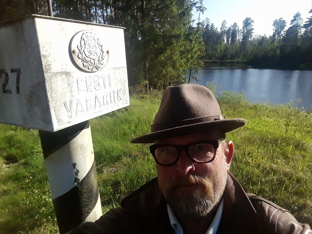
Of the various lake options listed above, my favorite is Glēzeris/Piirijärv. It's rather small as lakes go with just 2 hectares of surface area, of which about 1.7 hectares of the south belongs to Latvia and the rest in the north belongs to Estonia. It's another one of the lakes where the border comes in from one side, changes direction in the middle and exits the lake on a different trajectory. If you imagine Glēzeris to be a slightly misshapen potato, it's as if a large Estonian crow has pecked a chunk out of the top and left the V-shape of its beak behind.
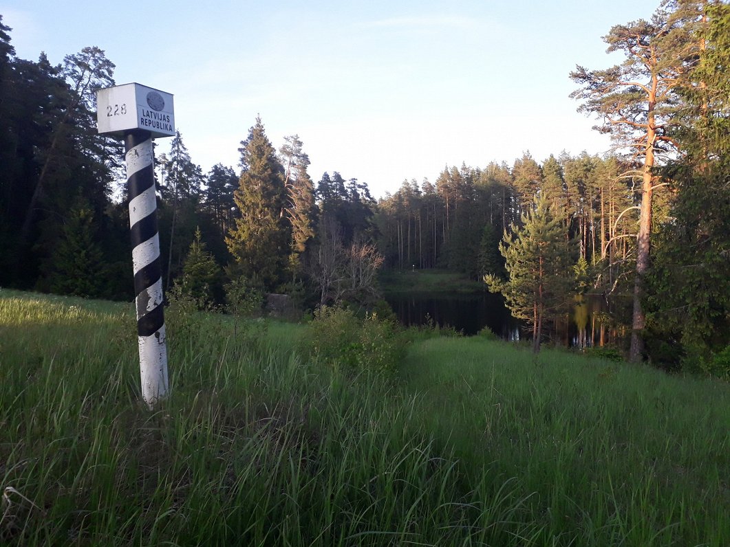
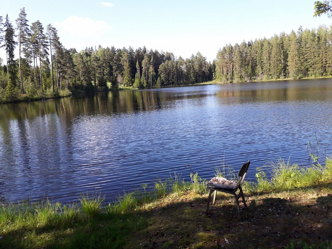
It's a pretty little lake with a sloping meadow and an overgrown old border crossing road on the western side and boggy forest on the eastern side. On the southern shore is a spot clearly used by fishermen, as a chair and the remains of a fire attest, while across on the Estonian bank is a dilapidated boat shed. Border poles stand sentry on each side of the lake and if you're willing to explore around the shores there are a few surprises to be found.
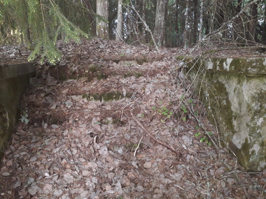
It's quiet here now, but it clearly it was not always so. An old border track complete with the remains of customs buildings runs parallel with the western edge of the lake. On the Latvian side the remains amount to little more than some concrete steps and foundations, now completely overgrown, but the Estonian inspection point, though abandoned, is in much better condition and easily recognizable as Estonian border buildings were constructed to a standard model (there is another identical one not far away on the Omuļi-Holdre road).
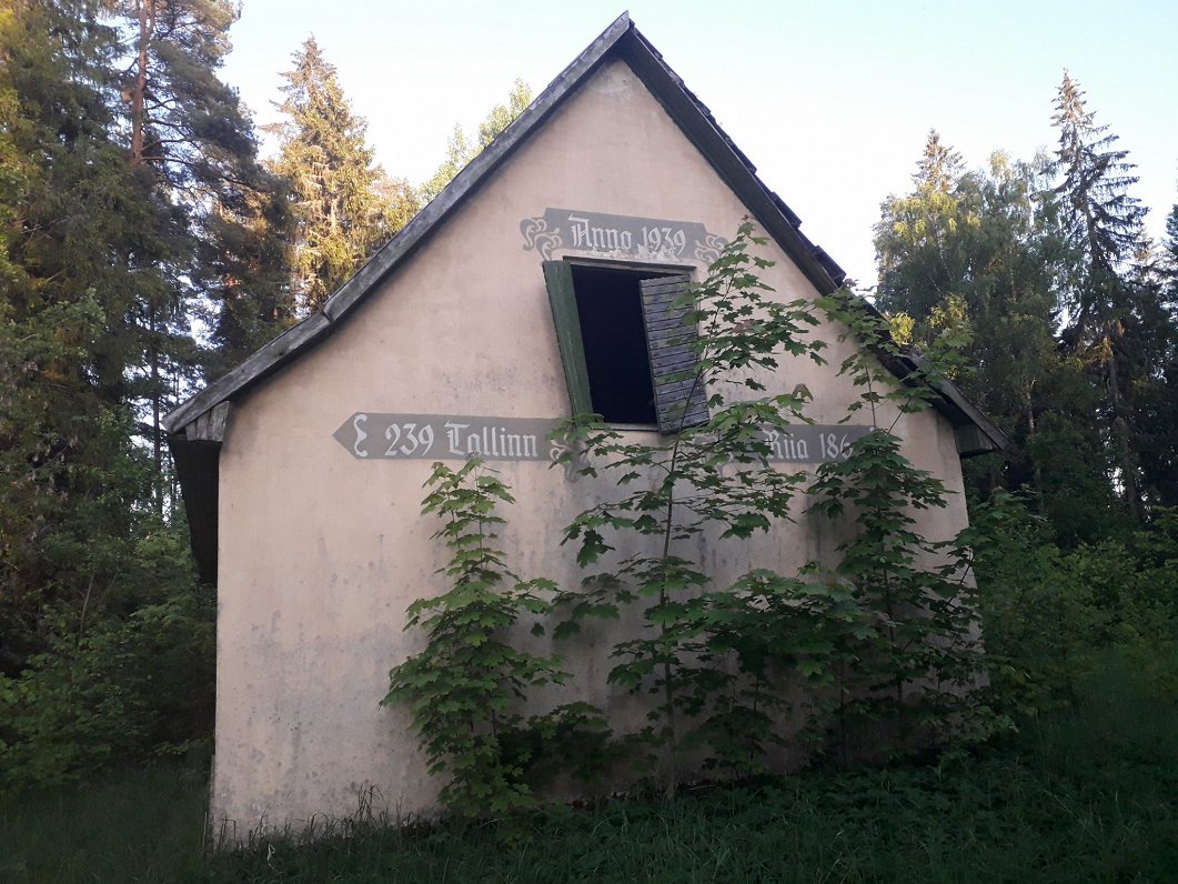
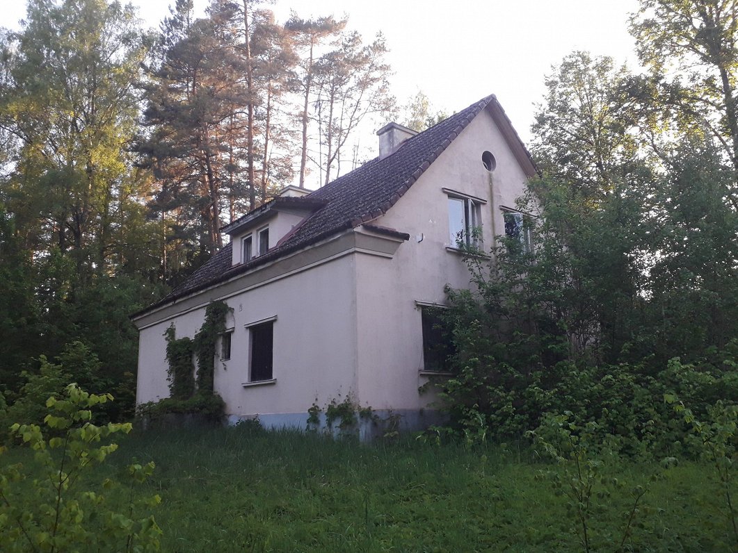
There is also what looks like an abandoned tavern or similar on the Estonian side of Glēzeris, complete with the distances to Tallinn (239 km) and Rīga (186 km) painted on its wall and the year 1939, which is presumably when it was built.
Floating just below the surface of the water at the northernmost point of the lake is an old raft, which may once have been used in conjunction with some abandoned fishing baskets on the eastern shore. It would be interesting to know if these Estonian fishermen stayed in their own territorial waters or cast their lines and nets a little further to quietly plunder Latvia's fish stocks. Alternatively, the raft may have been a Latvian incursion, confiscated by the officers of the Estonian border post in a skirmish that somehow never made the international newspapers and left the raft in a state of legal limbo that remains unresolved to this day.
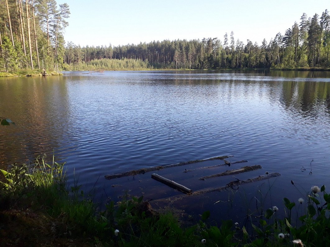
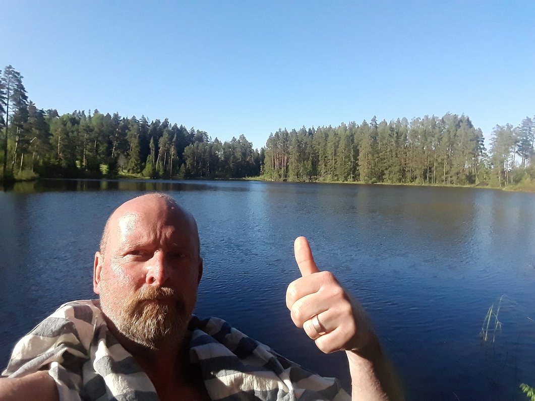
The view north from the southern shore of Glēzeris is nice, though the view south from the northern shore of Piirijärv is nicer. Possibly I am biased, which would explain why I did a Byron and swam across the border, concluding that the water on the more open Latvian south side of the lake was decidedly clearer than on the more overgrown and shady northern side. But then I remembered what I was once told while interviewing an Estonian government minister: "You can't have better soup in one part of the pot than another."
That seems fair enough, so on May 3 next year, let's swim the Baltic Hellespont together. I'll be at Glēzeris, will disrobe at midday and will proceed in a stately manner to cross the border into Piirijärv. Poets of a Romantic disposition and government ministers will be especially welcome to participate and that might even help us pretend it is something to do with the Tartu 2024 capital of culture program. As Byron himself wrote after his little swim:
For me, degenerate, modern wretch,
Though in the genial month of May,
My dripping limbs I faintly stretch,
And think I’ve done a feat to-day,
