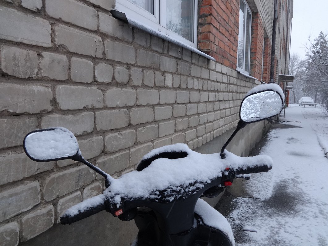
A partial thaw on Sunday, followed by an overnight freeze created slippery conditions, and fresh snowfall often masked patches of ice lurking on roads.
Šorīt sniegs apgrūtina braukšanas apstākļus prakstiski visā valsts teritorijā. Aicinām ieplānot papildu laiku ceļam, jo snigšana turpinās un sniega kārta veidosies atkārtoti. Strādā 129 @autoceli ziemas tehnikas vienības.⏰⚠️❄️ pic.twitter.com/2L9x1I8VIx
— Latvijas Valsts ceļi (@LVceli) February 4, 2019
Public transport in Rīga is free to car drivers on Monday, provided they can produce their car's registration document on demand from ticket inspectors.
In Kurzeme the weather will be mostly sunny, but in the central part of the country it will carry on snowing until the middle of the day, and in the east until late afternoon.
In Zemgale and Vidzeme regions, the snow layer could increase by 10-15 centimeters in 24 hours.
There will be poor visibility and driving conditions during the snowfall, and some regional roads may be completely impassable, even with tractors working at full capacity.
According to forecasters, the snow will likely stay in place for most of the week, with next weekend bringing the next significant thaw.
Pirmdienas nakts otrajai pusei un priekšpusdienai ir spēkā brīdinājumi par stipru snigšanu - daļā centrālo un austrumu rajonu sniega segas biezums palielināsies par 14-15 cm, Rīgā par 6-10 cm. Snigšanas laikā apgrūtināta redzamība ⚠️❄️?
— Meteo.lv (@LVGMC_Meteo) February 3, 2019
Brīdinājumi: https://t.co/htjtl8kFuQ pic.twitter.com/c4A8VzVf35
On the night from Monday to Tuesday night the sky will clear, and the air temperature will drop to -2 Celsius to -7 C in most places, with coastal regions as usual a couple of degrees warmer. Precipitation of some sort is expected every day, be it snow, sleet or rain.
At the weekend, there will be a notable increase in temperatures, which could even reach +6 C. Rain is also expected.


