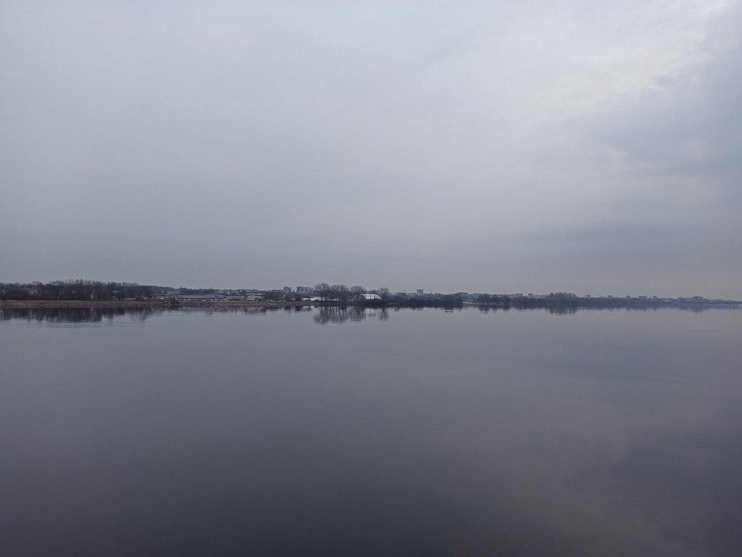
On Friday, rain is expected at times, and sleet in some places in the east of the country. Fog may also form. A slow variable wind will blow.
The maximum air temperature is in the range of +5 Celsius to +9 C, but in the east and on the coast it will be cooler at just +2 to +4 C.
According to the latest forecasts from the Latvian Environment, Geology and Meteorology Center (LVĢMC) April will start with rain expected in many places, which will gradually turn into snow. Visibility will deteriorate in some areas due to fog. Light winds will gradually shift from the north, northeast and increase in force, with gusts reaching 15 m/s along the coast in the morning and during the day. At night it will not be colder than freezing point, but during the day the air will warm up to arund +4 C in most of the country.
On Saturday night the sky will gradually clear. The amount of cloud will be variable during Sunday, only in the eastern regions the sky will be overcast. Snow and sleet are expected in the early morning, but the day will pass without significant precipitation. A moderate northerly wind will prevail, which will be gusty along the coast. At night, the air will cool down to 0...-5°, but the maximum air temperature during the day is expected to be +1...+6°.

Similarly drab and depesssing weather conditions are expected for most of next week. The sky will be mostly covered with clouds, bringing precipitation in many places. According to current forecasts, a precipitation zone will approach Latvia from the east on Tuesday, bringing more snow all over the country. In places, the thickness of the snow cover will increase by 1-3 cm. At the beginning of the week, during the day the thermometer will not exceed +5 C. In the second half of the working week, the weather will be drier, but it will still rain in some areas, and both nights and days will gradually get warmer.


