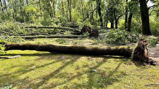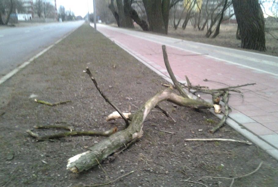
While not as extreme as its current form, the cyclone's forecast path for Wednesday has prompted warnings of possibly damaging wind speeds that could dangerously bring down some branches and trees in some parts of the region.
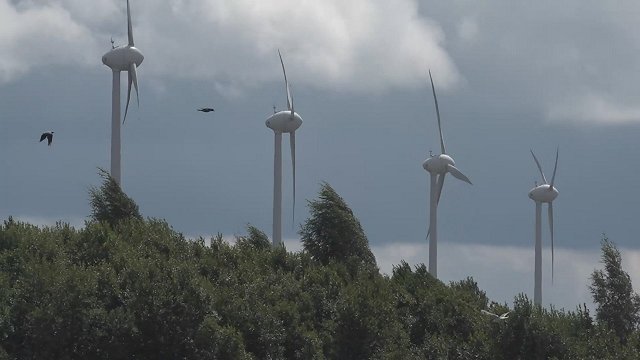
The southwesterly gusts will arrive by morning in coastal western Kurzeme province, and proceed across the land in Zemgale and Vidzeme, reaching between 17-21 meters per second, in northern Kurzeme up to 23 meters per second. In southeastern Selonia region and Latgale province the winds will be less swift between 12-17 meters per second.
As the front crosses the country the skies will be covered by clouds and then clear again, with brief scattered rain intermittently throughout the day.
High temperatures will range widely from +14 on the Kurzeme coast up to +24 degrees Celsius in deeper inland Latgale.
Riga is expected to see scattered clouds with little rain. Nightime lows will be around +15 degrees, rising to highs of +20 during the day, with winds reaching speeds of up to 18 meters per second.