Overnight low temperatures during the first half of the work week will approach zero and threaten scattered frosts at ground level, say forecasts, while daytime highs will stay at least 1-3 degrees below the usual averages for this time of year.
Crisp nighttime temperatures will drop to between +2 and +7 degrees Celsius (possibly +10 on the coasts), but rising during the day to between +16 and +21 degrees, a few degrees cooler on the breezier coastline.
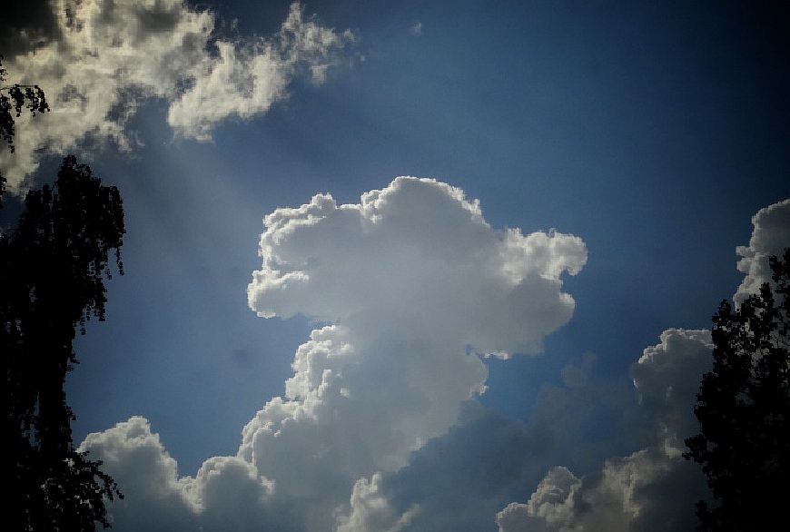
While the chance of precipitation will be very light and scattered across the land, until Wednesday there will likely be a small amount of rain falling somewhere in Latvia. However, the generally dry weather pattern will prevail, meaning that the danger of forest and grass fires remains high.
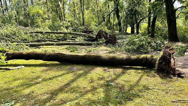
Prevailing winds from the northwest will be moderate, reaching gusts between 9 and 14 meters per second.
On Thursday a cyclone is scheduled to arrive over Latvia, bringing rain clouds to most of the land and moistening up the dry conditions, but there is still the chance that some parts of the country will see very little rain the and the drought lingers on in places.
Overnight lows on Thursday and Friday will be warmer (from +5 to +10, +13 near the coasts), but the daytime temperatures will not rise significantly beyond the +18 to +23 degree range, slightly cooler on the shore.
Current forecasts for the Jāņi summer solstice holidays call for the same fluctuating and inconsistent weather, with a possible slight warming trend. Daytime temperatures will stay from +16 to +22 and drop overnight to between +7 and +14 degrees Celsius.