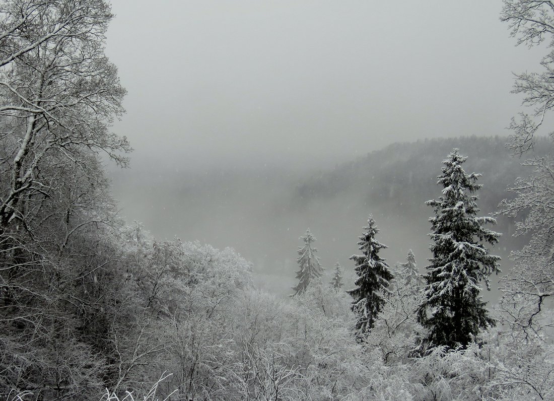
Freezing night-time temperatures and frequent snow flurries mean that large parts of the country already look like they are rehearsing for a white Christmas, with the picture below showing Alūksne in north-eastern Latvia with 11 cm of snow on December 1.
Alūksnē šorīt īsta ziema - 11 cm sniega. Citviet Vidzemē un Latgalē pārsvarā 4-10cm, arī Rīgas centrā oficiāli izmērīti 4cm. Te plašāk https://t.co/rIncGtcNAi pic.twitter.com/LKVcO1G3n8
— Toms Bricis (@boms_tricis) December 1, 2017
Tuesday will be particularly cold, with the air temperature dropping in places in Vidzeme region to -7 C, though as usual coastal areas will be warmer and may just about stay above freezing point.
More snowfall can also be expected on Tuesday and Wednesday, sometimes quite heavy.
However by Wednesday night things will start to change with temperatures warming and a general thaw melting the snow, supplemented by rain and possible thunderstorms.
So while it may not be the most pleasant week on record, at least it will not be boring! Wrap up warm (and dry).
Nākamajā nedēļā laika apstākļi būs mainīgi, aktivizēsies ciklonu darbība virs Eiropas ziemeļiem https://t.co/eBdL4Mgb1c pic.twitter.com/StimR24sex
— Meteo.lv (@LVGMC_Meteo) December 3, 2017