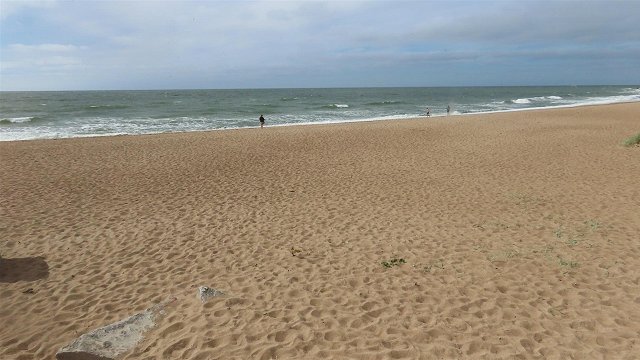
Weather forecasts call for plenty of clouds and some light rain to linger through Monday morning, but clearing across the country in the afternoon. A moderate northwest wind will allow the temperatures to climb to between +11 and +16 degrees Celsius, though coastal areas will be cooler at around +9 degrees.
No precipitation is predicted overnight to Tuesday, with little cloud cover over the land, however temperatures will dip back to between zero and +5 degrees, not quite as cold (+7 degrees) on the coasts of Kurzeme and Vidzeme.
There is a possibility of scattered fog developing overnight to Tuesday.
Temperatures Tuesday will be even warmer, climbing to between +16 and +21 degrees as a southwest wind grows stronger and brings some clouds and light rain in the afternoon at least to Kurzeme by evening.
Heavier rains will fall overnight to Wednesday, which will be comparatively warm between +7 and +11 degrees.
But Wednesday will also bring notably cooler air. As of mid-week point, the high temperatures will stay between +8 and +14, dropping to between 0 and +7 overnight.
This means that overnight lows will likely cause frost at ground level throughout most of the land, while the days will hold the possibility of scattered rain, hail and thunderstorms throughout the land.
The moist and chilly pattern is expected to last at least for the following week, with a possible warming trend expected only around May 20.


