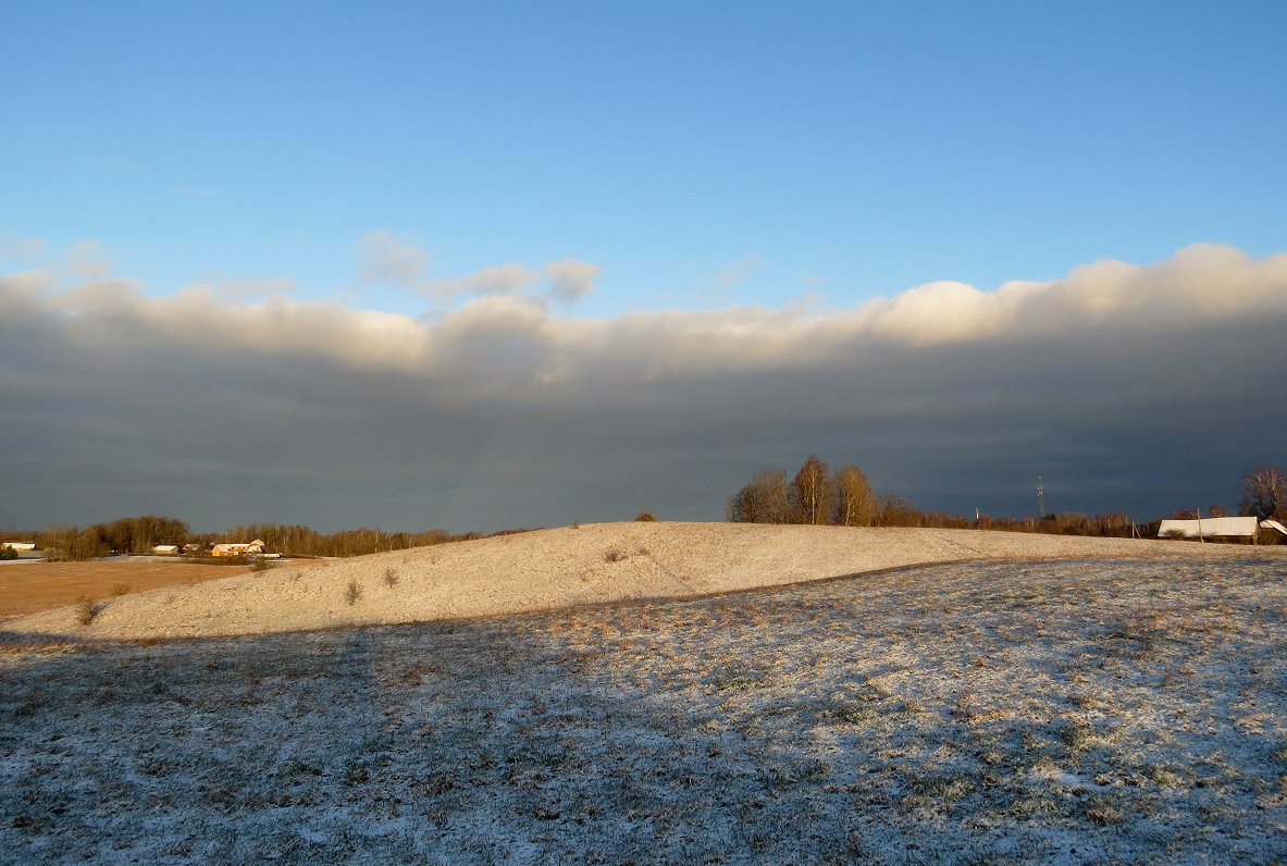
Monday will be the sunniest day of the week, with the clear skies seeing temperatures drop to - 5 Celsius overnight to Tuesday morning, when the sky will start to cloud over. By Tuesday noon snowfall is likely to begin, first in western Kurzeme region, then spreading across the whole country. However, only a small layer is likely to settle on the ground as the snow will gradually shift into sleet and rain.
There will be more precipitation on Wednesday, when snowfall could be quite heavy in the northern part of Vidzeme region and the snow layer could increase by a few centimeters as a result, but in the second half of the working week the skies will again become clearer, resulting in no precipitation and colder nights. Early on Friday and Saturday in the east of the country, the thermometer will again drop below -5 degrees Celsius.
Next weekend, another Atlantic cyclone will arrive in our region, so rainfall is expected to resume, along with warmer temperatures. The air temperature throughout the week will be mostly in the range of -1 C to + 6 C. Although this will be one of the coolest weeks this winter, the air temperature will still be above the seasonal norm.
As ever you can check the latest, live, 100% guaranteed genuine Latvian weather via our selection of Rīga webcams.


