As RIX spokeswoman Sarmīte Rinmane told information agency LETA, "the situation can change in an instant, so we can't say for now how many passenger flights will be affected." According to news reports at 10am, only three flights had managed to land at RIX, while six had to be diverted to other airports. A few planes have continued to loop through Latvian skies as they wait for air traffic controllers at RIX to coordinate their landings, as shown by flightradar24.com.
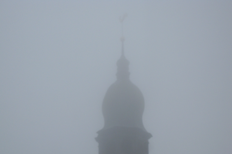
Thick fog began to reduce visibility to between 200-500 meters starting around 2am across much of Latvia’s road system, reported both the state meteorology and state roads services. The fog was predicted to linger until about 8-9am in places, though most of it had dissipated already by 7am.
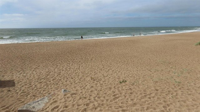
Rain also fell heavily during the night into the morning in the east of Latgale and Vidzeme provinces, while western Kurzeme province received less precipitation.
Overnight low temperatures stayed well above zero, precluding any frosts for now at +9 degrees Celsius in coastal Kurzeme and Vidzeme, +14 in the eastern inlands of Vidzeme and Latgale.
Wednesday will remain overcast with sunshine breaking through only occasionally. Much of the land will see scattered showers, possibly thunderstorms during the first half of the day, with a lesser chance of rain again in Kurzeme. Riga may also see a slight chance of rain, however less likely.
Daytime highs will vary between +17 and +21 degrees.
Forecasts for Thursday into the weekend are calling for summer’s merciful encore, as the cyclone currently keeping the lid on the sky loses its power and allows the weather to clear again.
Atmospheric pressure will rise, bringing with it dry and sunny days with scattered cumulus clouds threatening only localized and brief showers in places.
Overnight lows will stay above the freezing mark, leaving some time for gardeners and horticulturalists to tend to their harvests before the next frost.
Extended predictions into the middle of next week call for little change in the weather pattern, as the chance of occasional precipitation remains during a stretch of unseasonally warm weather for mid-September, with temperatures set to hold at highs around +20 degrees.