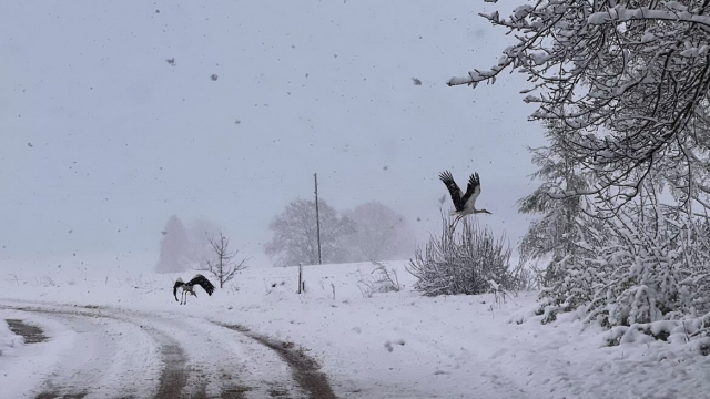
While air temperatures Monday will hover between highs of -1 and +2 degrees Celsius, by Thursday they will have dipped to the -5 and +1 range, while lows at night will be down between -7 and 0 degrees, even to -8 and -13 in parts of Vidzeme and Latgale.
Slow southeast winds will dominate the work week until Thursday, when the wind will turn from the northeast.
The forecast for the next weekend calls for a broad anti-cyclone from western Europe to bring a high-pressure system with clearing skies and colder temperatures. On Friday the lows are expected to fall to between -5 and -10, and down to -11 and -16 in Vidzeme and Latgale.
Winds will again change direction on Friday and Saturday from the southwest, becoming stronger and bringing warmer air into the region. On Sunday a new cyclone from the north is forecast to arrive in Latvia, which will increase northern winds, promising a small coastal gale, some blizzard-like conditions and more cold weather ahead.